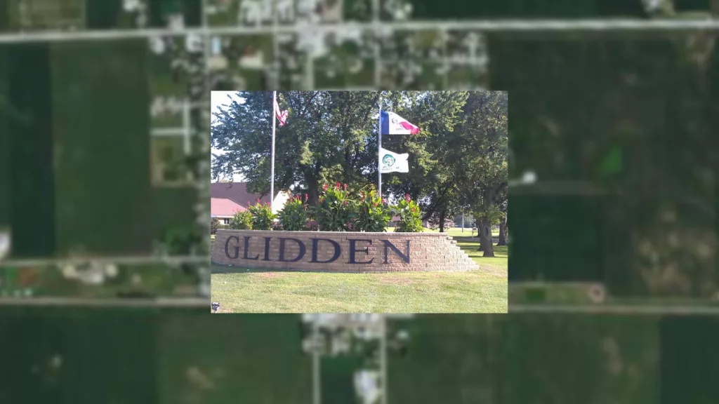
The City of Glidden will update its current paper maps of the town to a GIS mapping software as one of its FY25 projects. Currently, the only map utilized by the city of Glidden sits at city hall and doesn’t provide all the tools that would benefit the community as an electronic map would. During previous meetings, City Administer Brooke Peterson proposed this project to the city council. After a discussion with the engineering firm Bolton and Menk, who will complete the project, Peterson says the city council understands the need for this project to take place.
Your browser doesn’t support HTML5 audio
Once the city council accepts the official proposal, the project will likely start at the end of June or the beginning of July. Peterson says a lot of data will be collected throughout the next few months once the project begins.
Your browser doesn’t support HTML5 audio
This new electronic mapping will save time and be more efficient when working on future projects for the city. Peterson says instead of passing physical notes, all data points will be online, allowing for more accessible communication between departments.
Your browser doesn’t support HTML5 audio
The GIS mapping project is projected to cost between $25,000 and $30,000. Peterson thinks that some of the LOST funding will be utilized to pay for the project, but final details will come on the project’s timeline and official cost after receiving the proposal from Bolton and Menk.