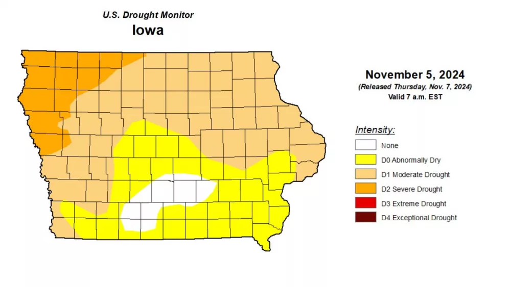
It appears as if the state continues to be divided with northern portions receiving more rain than needed while some southern areas are extremely dry. The weekly Iowa Crop Progress and Condition Report says some locations in northern Iowa reported from three to five inches above normal for the week ending Aug. 12, with the heaviest rainfall occurring in Webster and Buchanan Counties. Fort Dodge reported 5.95 inches, the highest accumulation of the week. “We continue to see spotty showers across the state with some areas receiving strong storm(s) and other areas, especially southern Iowa, extremely dry,” says Iowa Secretary of Agriculture, Mike Naig. “Subsoil moisture is now 31 percent short or very short in the state and in south central and southeast Iowa, over 85 percent of the land is short or very short of moisture.” Temperatures were also reported at one to three degrees above normal in most places. On average, farmers had 5.5 days suitable for fieldwork during the past week, mainly harvesting hay and oats, spraying for aphids and moving grain. Corn conditions are now rated at 75 percent good to excellent and soybeans declined slightly to 72 percent good to excellent. The full report can be read by following the links included below.
_________________________________________
Iowa Crop Progress and Condition Report:


